I attended the
DCR meeting about the Craigie drawbridge and dam bridge last night. At first I was very excited; they welcomed our input and spoke about their commitment to pedestrians and bicyclists. The lead engineer on the project is an older gentleman in a dashing sport coat who reminds me of my great-grandpa, and the rough outlines of his proposal made a lot of sense.
However, over the course of the evening's discussion I grew increasingly agitated over the double-speak.
DCR claims they want to accommodate cyclists so they're creating a consultant position and a profound number of new and resurected committees, all of which are slated to commence in the New Year. The plans for the project, however, are 90% done now and the input we can make is cursory and not actually welcomed. I left the meeting early, in anger, after the cute old engineer said, almost spitting in anger, that the plan doesn't include bicycles because the
existing structure doesn't include bicycles. Viva le status quo!
Boston, I've always loved your respect for history and I wish you'd respect the future a bit more.
I hear that
Marty Walz said it best, something to the effect of
"The fact that you waited 'till the plans were 90% done to get input is unfortunate, and not the community's problem..." An important revelation in the meeting was the news that there will be dedicated bike lanes entering and exiting the project zone, so a failure to plan for this "vehicular" bicycle traffic will be glaringly obvious.
It is true that the project is a difficult one, there are a lot of humans to get across a very small space. The proposed design is excellent for preserving the space and minimizing the disturbance created by this necessary work. That said, I think there is still wiggle room to meet the needs of the community at large.
I'm very happy to have a blog, because I get to share Charlotte-the-Amateur-Engineer's Two Solutions for this problem.
Solution One: The Practical SolutionWe move forward exactly as planned, however instead of widening the car lanes from 9'7" to 11", as proposed, we use that extra space for a dedicated bike lane. This will be status quo for the cars, the bike lane will do dual-duty as the buffer zone to the curb desired by the engineer, and will simply be wider and painted blue to indicate that it is for vehicular cyclists. The multi-use path will hold pedestrians, runners, strollers, wheelchairs, and casual cyclists, as well as vehicular cyclists looking to get from the Esplanade to the trail on the Memorial Drive side of the river without dealing with all the car traffic, which we know will happen.
Solution Two: The World-Class Dream SolutionWe may still do the above, but we work on building a cantilevered path which runs along the
back of the Museum of Science and connects both sides of the river. I'm envisioning it feeling a bit like the river side of
European Parliament in Strasbourg. There would have to be a drawbridge or elevated bridge, but it need not be as robust as the Craigie drawbridge which must accept 18-wheelers. The
Museum of Science could use this opportunity to create a real-world exhibit about the science of motion with displays about the bio-mechanics of walking, running, and cycling, linking science more directly to life through those plate-glass windows than in a diorama. These two parks in the
Charles River Basin would be more directly connected and the training programs of all Boston athletes significantly improved, Boston's reputation as a walking city enhanced, and DCR would more directly fulfill its mission:
To protect, promote and enhance our common wealth of natural, cultural and recreational resources.
Wouldn't it be wonderful?


 I'm liking the idea of white outerwear for being visible but not flashy, particularly paired with black. It might be even better in the summer when the world is more green, less grey...

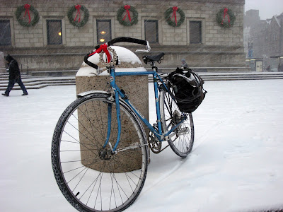
 Christmas lights, wrapping paper in the bike bag, decorated bike... all very festive. I've seen people reporting that their bikes are "lit up like Christmas trees" - anyone out there take the Christmas tree analogy any further?


